


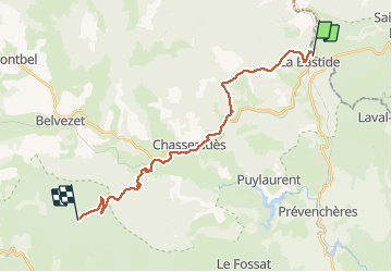

33 km | 46 km-effort


Usuario


Aplicación GPS de excursión GRATIS
 SityTrail
IGN / Institutos geográficos
SityTrail World
El mundo es suyo
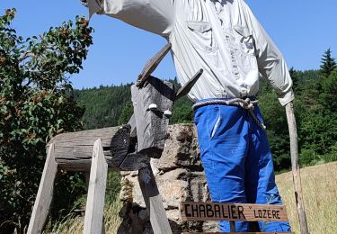
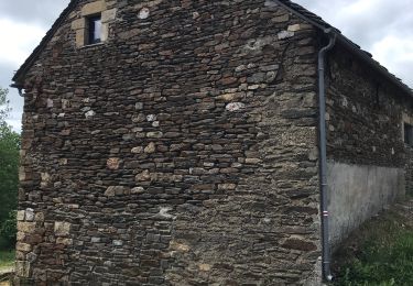
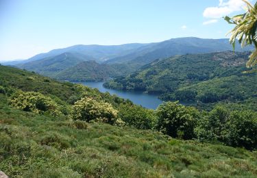
Ruta Senderismo de 22 km a descubrir en Occitania, Lozère, La Bastide-Puylaurent. Esta ruta ha sido propuesta por richard21220.
îte d'Etape et Chambres d'Hôtes L'escoutal : Hameau du Bonnétès 48190 LE BLEYMARD Tél 04 66 48 64 08

Senderismo

Senderismo
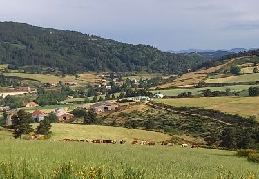
Senderismo

Senderismo
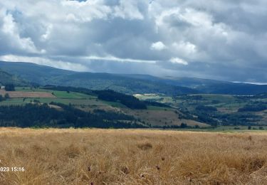
Senderismo
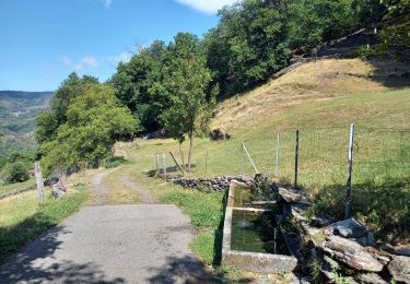
Senderismo
Senderismo
Senderismo
Senderismo